
Ferris State University students saw their campus transform from gray to white in an instant thanks to exceptional weather events.
Big Rapids was hit with the biggest storm of the winter this past week, but it comes on the heels of an otherwise decidedly gray season. The cause of the weather patterns witnessed this winter can be explained by an intense interaction in our atmosphere.
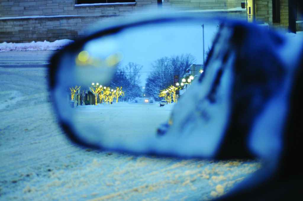
Previous to the winter storm which began on Jan. 9, Big Rapids had accumulated very little snow. According to the National Weather Service, Big Rapids only saw 6.3 inches of snow, much less than the average 22.4 inches of snowfall to that point in the year.
“I felt like I didn’t see a snowflake the whole month of December,” cybersecurity master’s student Nick Panoff said. “It didn’t feel like a normal Michigan winter until now.”
Big Rapids was on pace to set a record low for snowfall this winter prior to Jan. 9. As of now, our snowfall accumulation has been brought five inches over the annual average for this time of year.
The reason for this seemingly erratic atmospheric behavior has its origin thousands of miles away, a phenomenon called El Nino.
Professor of geography, Dr. Jennifer Johnson explains that El Niño is an event in which the equatorial trade winds blow warm water towards the western coast of South America.
“When it gets to be a really strong event, [warm water] can spread all the way up the coast of Central America and really all the way up the coast of the US,” Johnson said. “[This year] is actually a pretty intense El Nino.”
This warm surface water heats the atmosphere in turn, meaning the western United States experiences a warmer and wetter winter than usual. This weather extends to us by virtue of the jet stream. This is an easterly wind that blows along the border of cold polar air and warm southern air across North America.
Conversely, a mass of cold air is constantly kept in check by a westerly wind called the polar vortex. “[Polar vortex winds] are strongest when you have the greatest contrast in temperature between the arctic and the warmer tropical oceans,” Johnson said. “That boundary is where all of our winter storms form. They are formed by a collision between warm and cold air.”
What Big Rapids experienced on Jan. 9 was that boundary shifting south. Ferris State was caught in the crossfire of warmer than usual air colliding with the polar vortex to produce 25.5 inches of accumulated snowfall over a six-day span from Jan. 9 to Jan. 14.
The reason for our lack of snow at the beginning of the winter, Johnson explains, is that “El Nino was influencing the Jet Stream in a way that was keeping us storm-free.”
“El Nino tangos with the polar vortex.” Johnson said. That is the short answer to the question of an odd winter for Big Rapids.
Climate change also influences these storms and contributes to some of the extreme weather.
“The problem under climate change is that the arctic is warming … One of the things that can happen when the arctic is warmer than it should be, is that the temperature difference isn’t as big as it should be,” Johnson said, “This makes the polar vortex weaker and more likely to let arctic air invade the US.”
Johnson further explained that if there’s an increase in polar vortex events, there’s colder winters.
Staying current with weather and climate predictions can make preparing for winters like this one a bit easier. With the upward trajectory of global warming, consulting a trusted source like the National Weather Service for information on polar vortex events may prove useful.